|
|
|
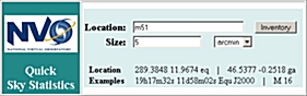
The VAO Sky Statistics tool is actually five services in one. For a circular
aperture on the sky, it searches a set of custom data structures to determine
which VAO-accessible catalogs have data in that region. So far, the
service covers the IRSA, NED, and CDS VizieR holdings with more in process
(several thousand catalogs in all).
|
|
|
|
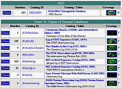
For each catalogs covering the region, the results of the basic
sky statistics search include a count of sources, a shorthand catalog
ID (which links to the appropriate archive-specific data download
service and can be used to retrieve the catalog subset), the catalog
description (which links to catalog-specific documentation) and a
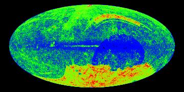
thumbnail all-sky coverage map (in Galactic coordinates.
|
|
|
|
|
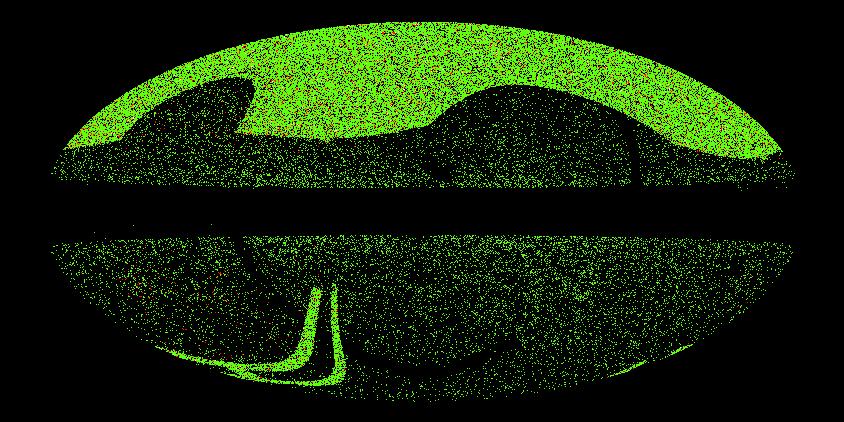
The thumbnail link in the source count table above links to a
service which shows set of pre-generated coverage maps for the
catalog: Equatorial and Galactic; source density and coverage
masks; JPEG and FITS; and different resolutions.
|
|
|
|
The last column in the source count table is a checkbox. Several
catalogs can be selected on this page and then one of two "composite"
views can be generated. The first is a composite all-sky coverage
map, showing the fraction of the selected catalogs with data in
the map pixels (this does not imply the catalogs have sources in
common, however). Also generated is a map of just those pixels
covered by all the selected catalogs.
|

|
|
|
|
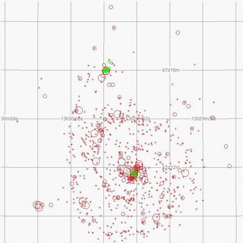
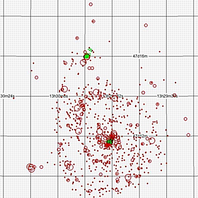
The other composite is a source map for the original region of
interest, showing the exact location of all the sources from
the selected catalog.
|