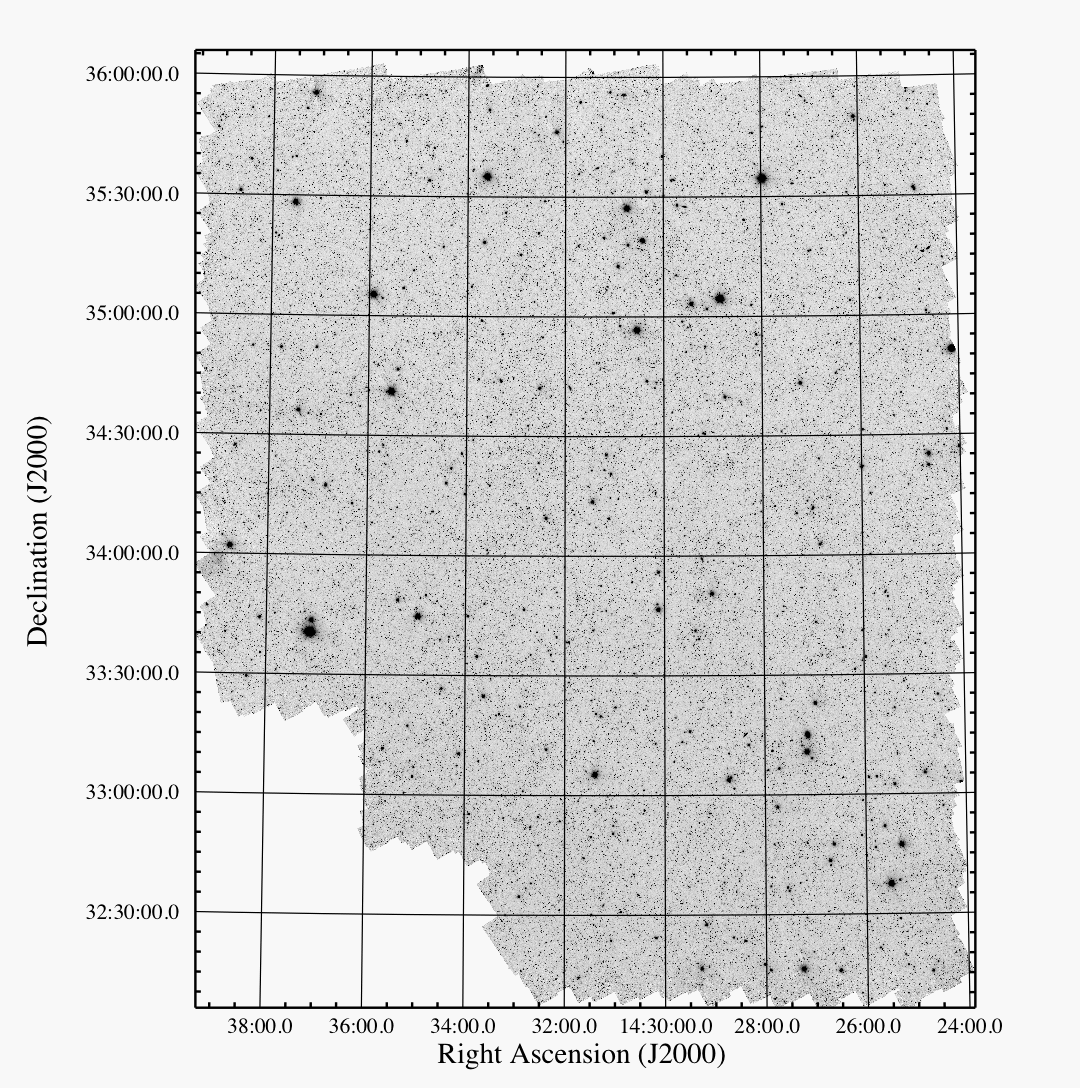
The Spitzer Deep, Wide-Field Survey (SDWFS) is a four-epoch survey over roughly
10 square degrees of the NOAO Deep, Wide-Field Survey field in Boötes.
The first visit to the field occurred very early in the Spitzer mission (in
January 2004) as part of the IRAC Shallow Survey (Eisenhardt et al.
2004). Subsequent visits to the field as part of the SDWFS program reimaged
the same area to the same depth (see delivery documentation).
DR1 of the Cycle 4 Spitzer Legacy Program consists of four-band IRAC mosaics,
coverage maps, and catalogs corresponding to each of the SDWFS epochs. In
total, there are 16 single-epoch mosaics and coverage maps, plus an additional
set of four corresponding to the sum of all IRAC integrations of this field. DR2
added a variability catalog and one for light curves as a part of the project.
If you use SDWFS data, please cite the journal articles Ashby
et al. (2009) for the survey and Kozlowski et al.
(2010) for the variability catalog and light curves, as well as the dataset
Digital Object Identifier (DOI): 10.26131/IRSA416.
Jump to documentation.
|